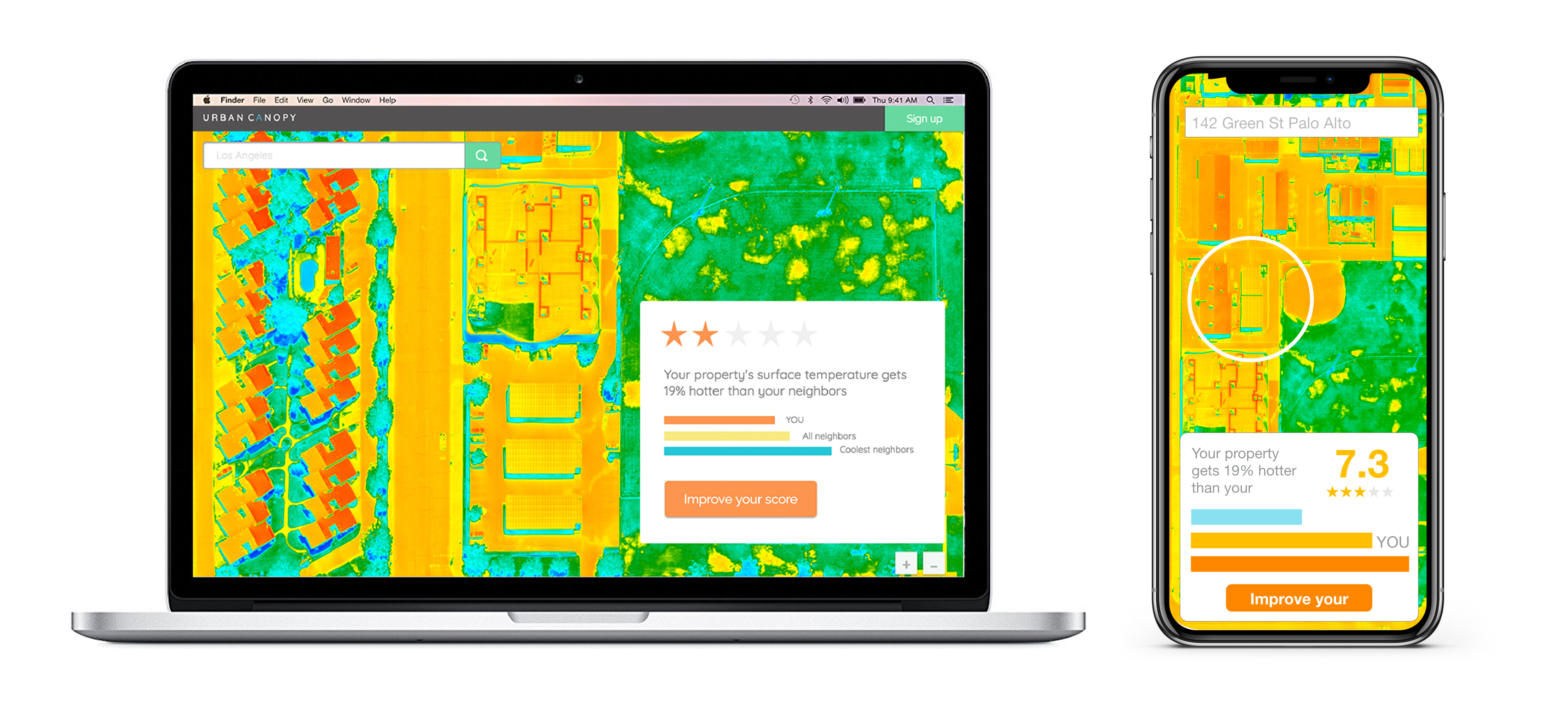
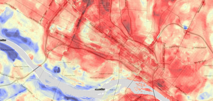
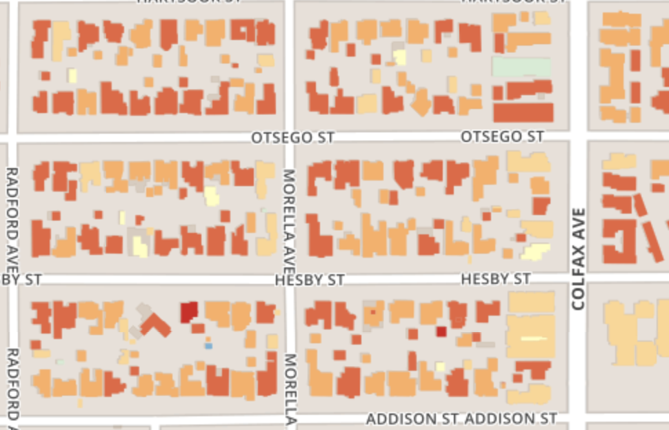
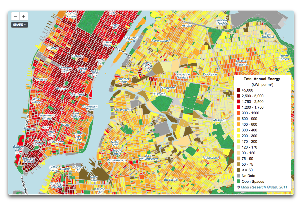
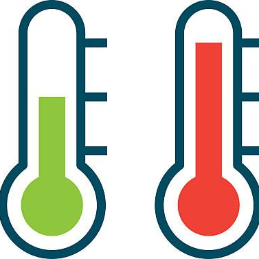
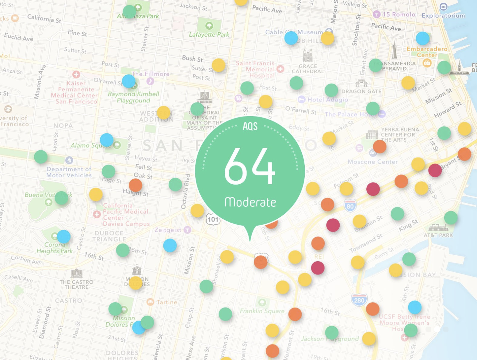
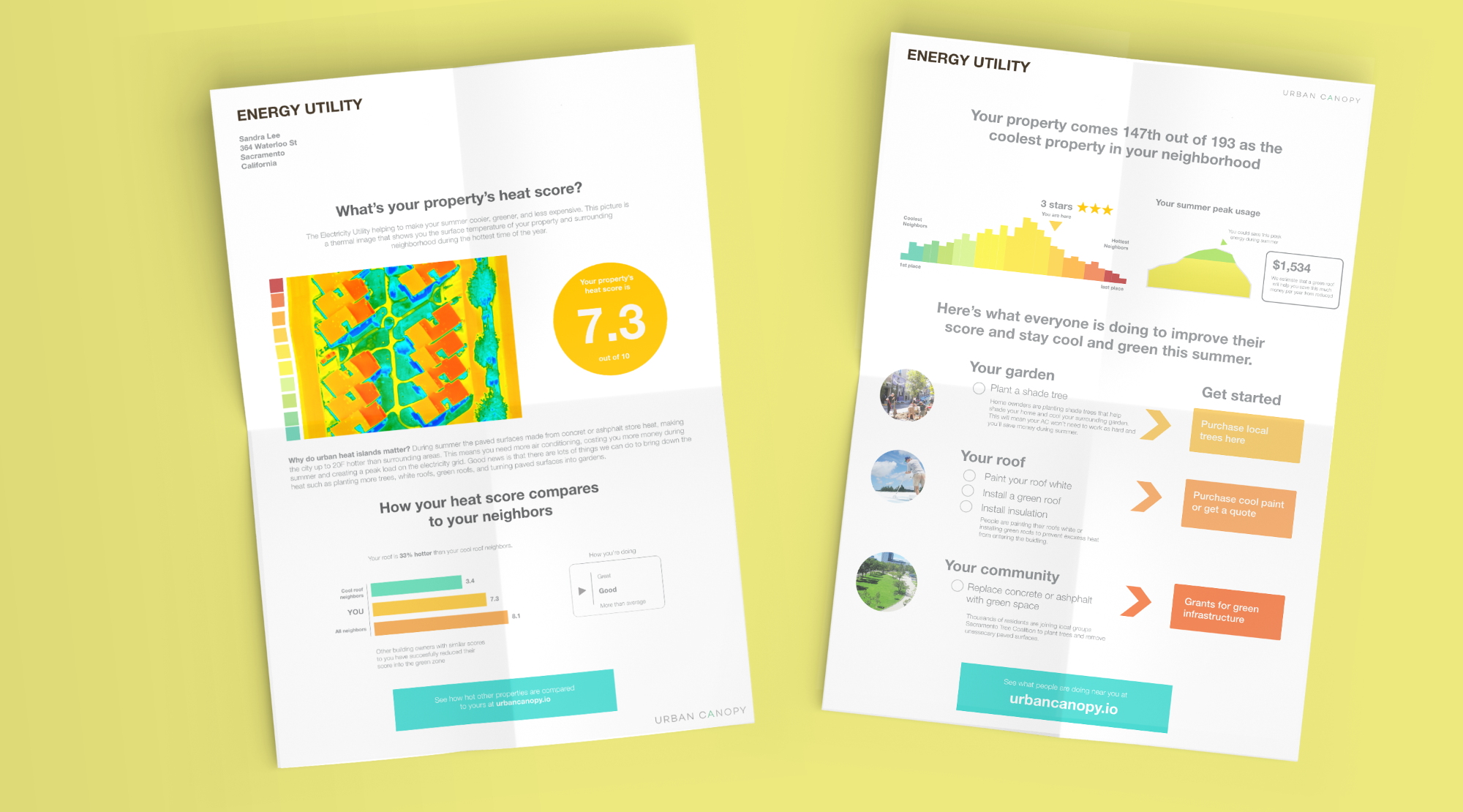
Each land parcel is assigned a "heat score" as a number out of 10 based on the average thermal reading of the property area. You can compare one property's heat score against another and rank all the properties in a district.

We have a solution to
urban heat islands
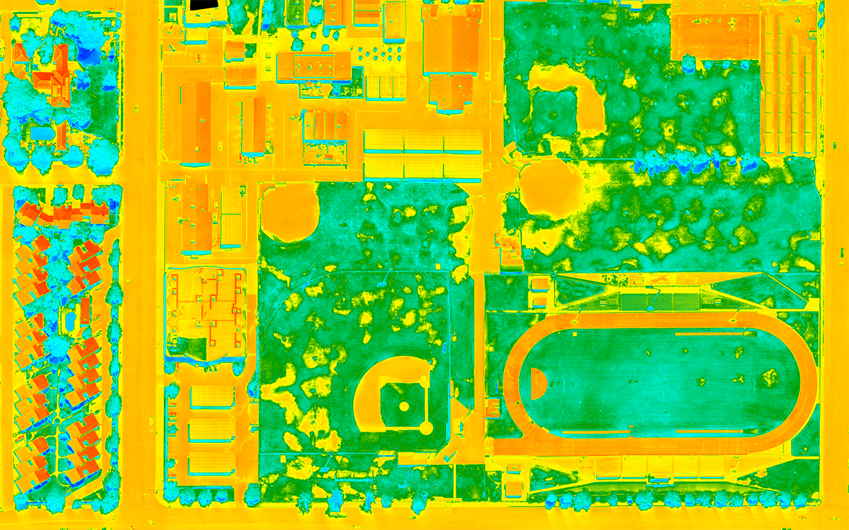
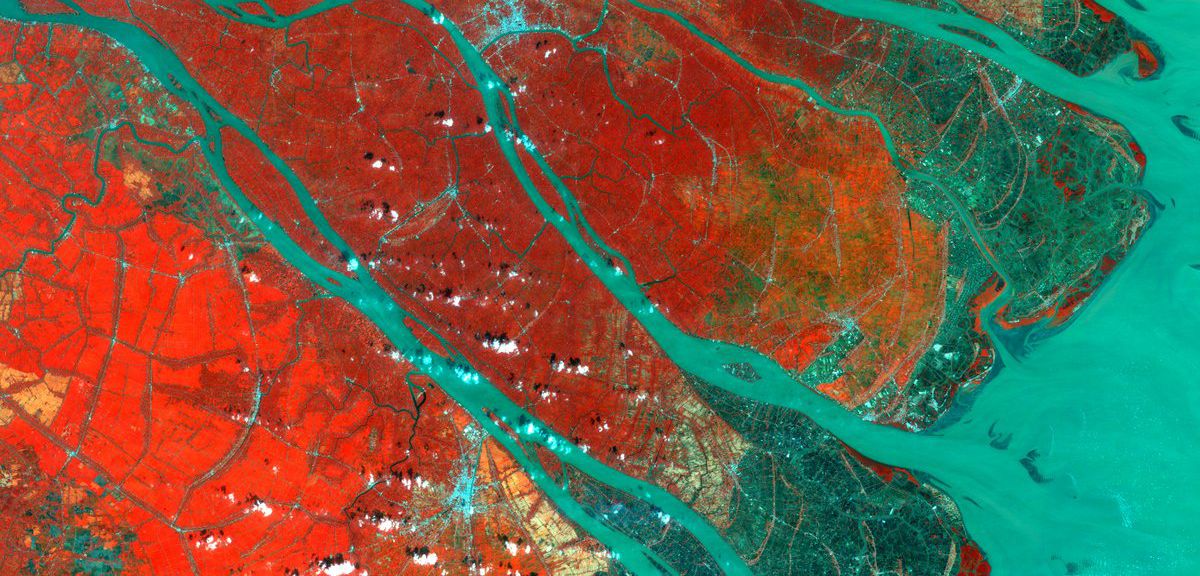
High definition thermal photography of urban summer heat by aircraft
Urban Canopy helps you see the "hot spots" that are contributing to urban heat by taking high resolution thermal images at the peak of summer by aircraft. We put these images on our publicly available web-based app so home owners, city planners, architects, schools, businesses, and sustainability managers can look up a property and see what structures to target for urban greening or cooling projects.
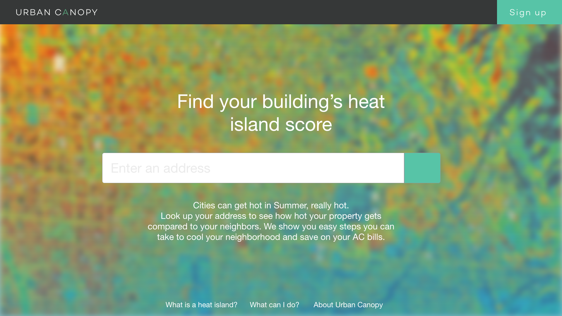
Find your property's heat island score and how it compares to your neighbors
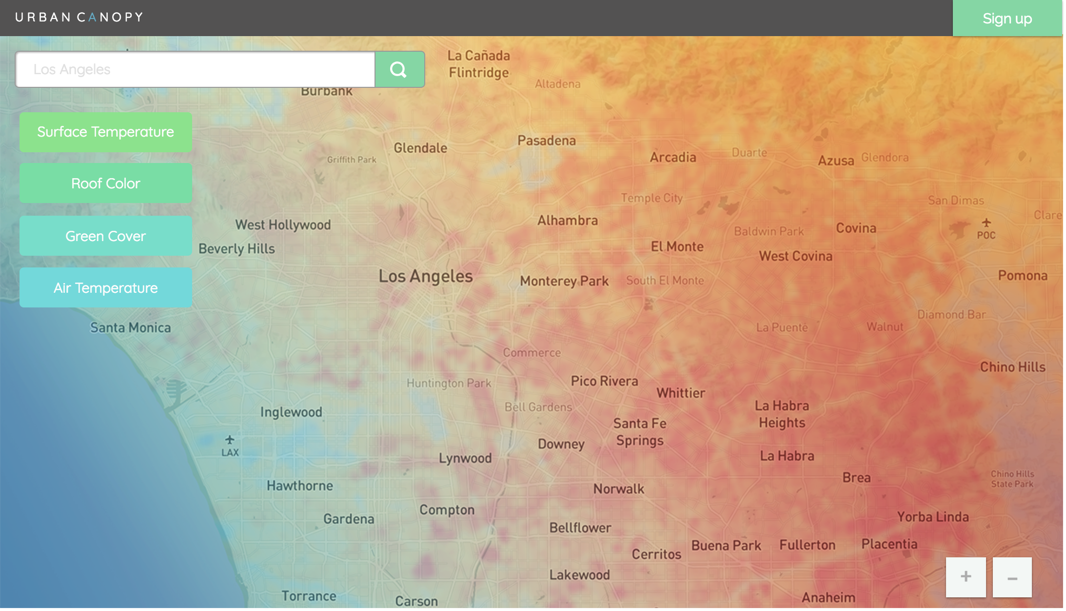
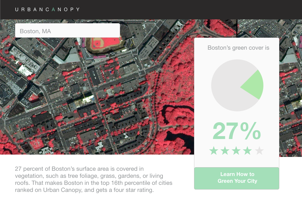
Green cover, calculated automatically
We calculate the percentage of green cover for each city automatically from satellite images.
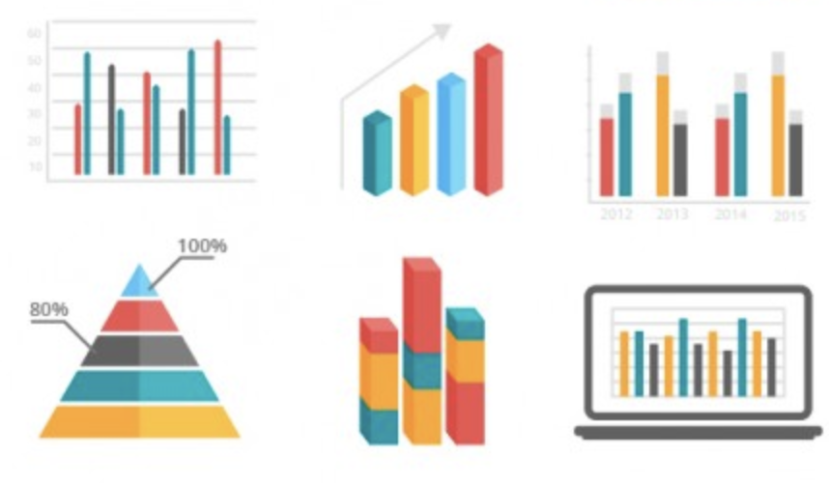
Air temperature, albedo, air quality, & energy consumption
More environmental data can be added to the Urban Canopy map to get detailed granular insight into areas and land parcels to target for improvement.
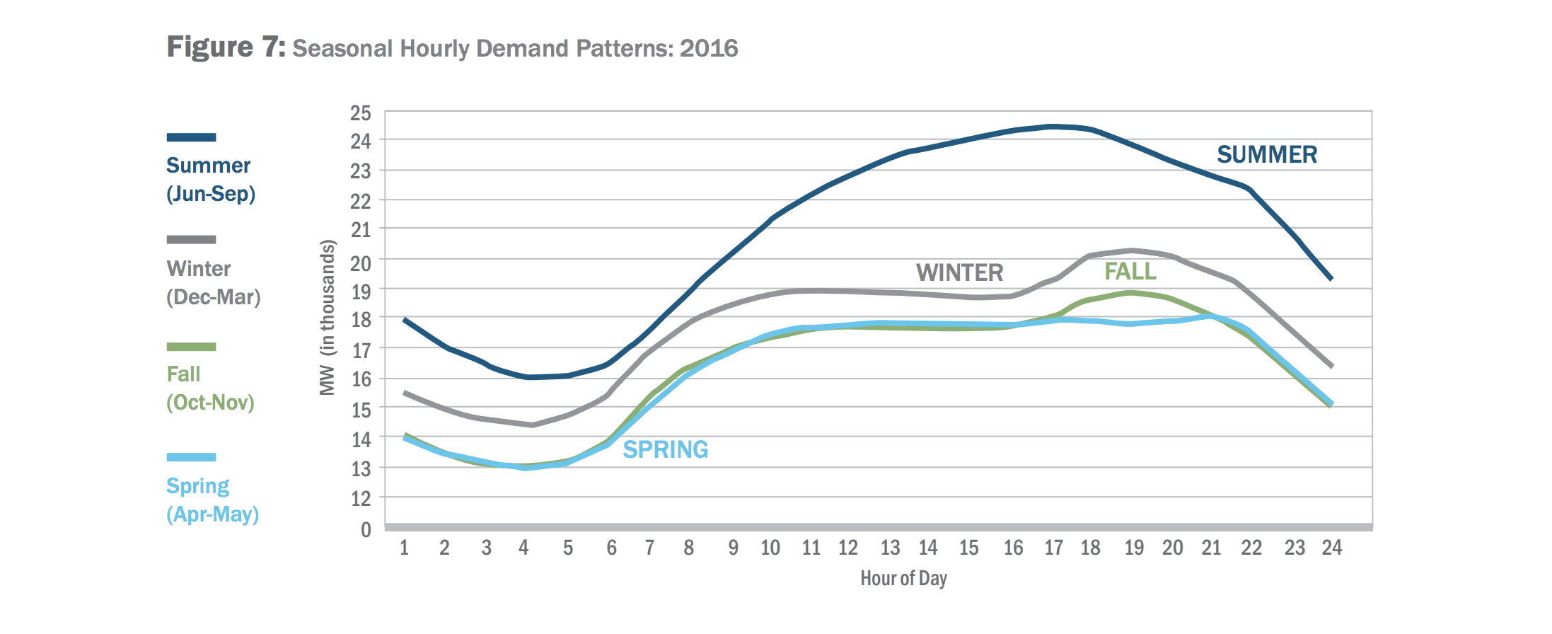
Problems with summer peak electricity
The load on the electricity grid in many cities doubles during summer because of increased use of air conditioning. The peak electricity is usually made up from more polluting forms of gas power stations known as "peaker plants." Urban Canopy's mission is to reduce the peak demand on the grid during summer.
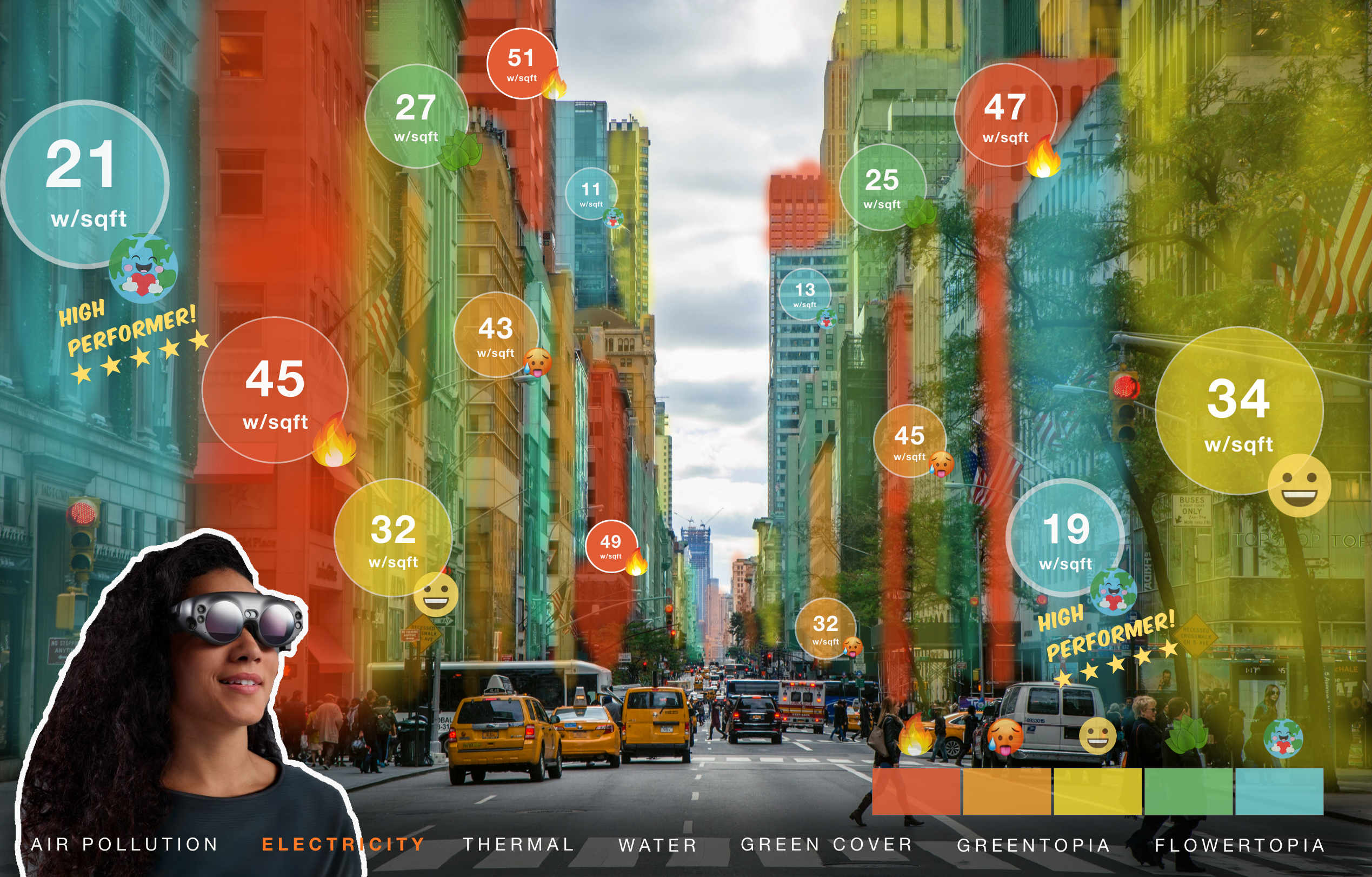
Augmented views of the invisible environmental impact, made visible
Our data and environmental property rankings can be viewed through mixed or augmented reality glasses such as Magic Leap, Hololens, or Nreal glasses. Data can be presented as creative experiences that inspire people to make a positive change.
Gamification of change
We can learn a lot from game designers about how to motivated people. We can use the property heat score and community green actions in leaderboards, feedback loops. star ratings, social comparisons, color grades, rewards, and levels of achievement to tap into the human motivational core to drive action.
Community engagement for change
Community members can add their own actions taken and tutorials to the map to get likes and points. People can take their own thermal images by drone or smartphone add-on and patch their images into the map.
Products and services to help
Residents and site members are directed to local partners who provide products energy efficiency and greening such as energy efficiency appliances, roof insulation, reflective paints, shading trellises, trees, green roofs, and window shades.

Plant a tree
Connect to local tree groups and nurseries.
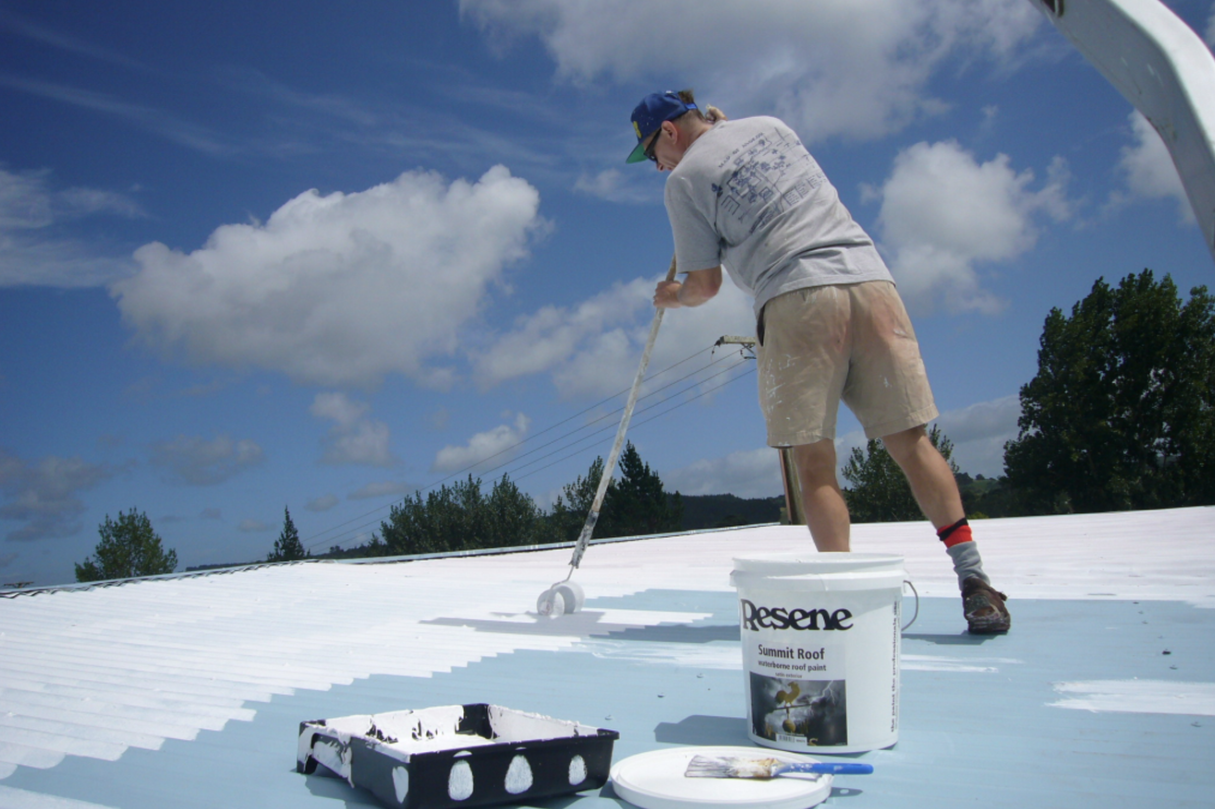
Paint your roof white
Get deals from local contractors and roof coating suppliers.
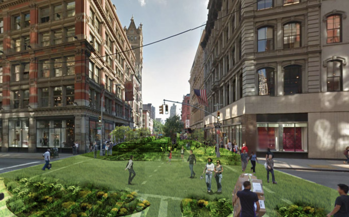
Create a mini-park
Find some concrete to remove and turn into a mini-park.
Install a cool roof
Find local suppliers and quotes for a cool roof.

Switch to an efficiency AC
Find the best energy saving AC near you.

Personal cooling devices
Find non-ac ways to cool with desk fans, cooling scarfs, and sprayers.
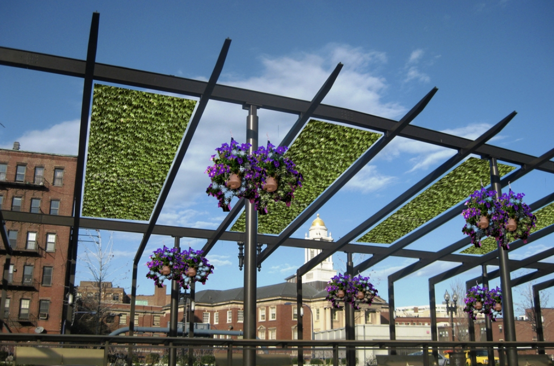
Shading
Learn how to shade car parks, walls, and windows.
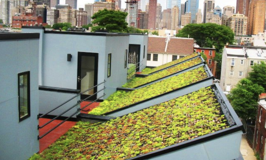
Green roofs & green walls
Find products and experts to help you install a green roof or green wall.
Partnerships with energy utilities
We provide energy utilities with thermal images of each property to include in customer letters and accounts to drive customers to reduce their energy use during peak times in summer.

"Simply showing people the numbers has an uncanny way to change them"
- Paul Graham, Y Combinator
Let's get your city on the thermal map
Contact us and let's talk about how we can get started.